Matterhorn Peak
View of Matterhorn Peak from the North West side
See the Matterhorn Peak movie here
** If you have a programmable Garmin GPS, you can download our track here (Twin Lakes to Matterhorn Peak, GDB file)
requires Garmin MapSource software and if you want maps (not necessary), the US Topo National Parks, West.
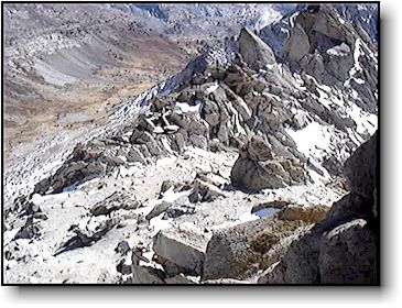
Near summit, the track to right is off route (class 3). Track to left is on route (coming down)
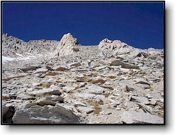
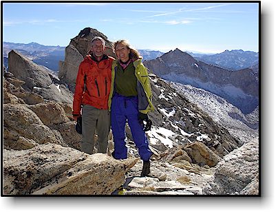
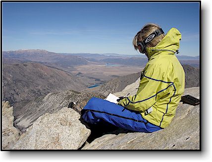
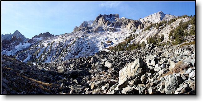
On October 22, 2007 Barbara and I left our cabin at Twin Lakes for a one day trip to the summit of the Matterhorn Peak. We started at 6:45 AM and had perfect weather. Our choice was the easiest route to the summit, via the Southeast slope (class 2). Getting to the approach required hiking up Horse Creek Trail. You start with a series of switchbacks climbing up from Twin Lakes, pass a couple of nice waterfalls and reach the junction of Horse Creek Trail and Cattle Creek Trail (there was a trail sign here). At this junction, continue straight on the Horse Creek Trail through a meadow and past a small lake on your left. The trail is somewhat overgrown here but is reasonably well marked. After leaving the meadow, you start on the rock trail. Horse Creek will be on your immediate right. The rock trail leads toward a steep scree field (see picture 1 below).
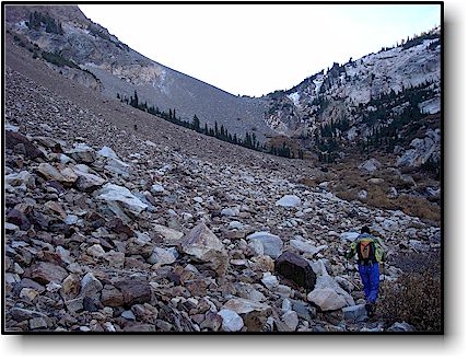
The trail through the rock field is pretty straightforward until you reach the base of the upper scree field. Here you should head up to the lowest point on the saddle and keep left of the gendarme. About halfway up, you can cut across to your right into the first gully and follow a nice trail without having to hop rocks. To see a close up of this route (approximate) click here.
We reached the top of the scree field at 9:10 AM.
 |
Once you reach the top of the bolder (scree) field, looking southwest, you will see the next valley. The route continues along this valley and bends to the left then right around the massive ridge on your right. If you are heading for the west side of Matterhorn peak for a more challenging climb (East Couloir etc), head directly up the scree to the right and through the trees. You will reach a small lake. Then, follow the drainage up to the base of the Matterhorn. Instead, we continue on our route winding through this valley. |
 |
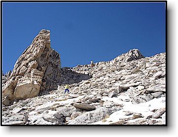
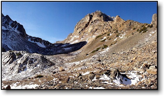
After you top the saddle (above) you have now crossed over from Horse Creek drainage to Spiller Creek drainage and will get a beautiful view of Spiller Creek and the southeast side of the Matterhorn. It sure looks different from this side! The peak is the high point in the center right of this picture. Directly below the summit block are two gendarmes. We headed up through the rock and scree to a point just to the right of the left gendarme. We then contoured over behind the left gendarme to the little notch which we called the "platform". See this section of the route here. GPS coordinates for the "platform" are N38 05.524, W119 22.857
|